Maps of Katrina
|
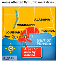
This map shows the areas that Hurricane Katrina affected on
a more local basis. Hurricane Katrina affected 19 different areas in America.
This map shows Border Orientation, Legend, Title, Scale and Source (BOLTSS). It shows border because there is a black border around it. It shows orientation because it has the compass points at the bottom. It has a legend at the bottom corner that shows you what the red means and it has a title at the top that tells you what it’s about when you first look at it. It has a scale at the bottom of the map and it and the source is in the bibliography.
|
|
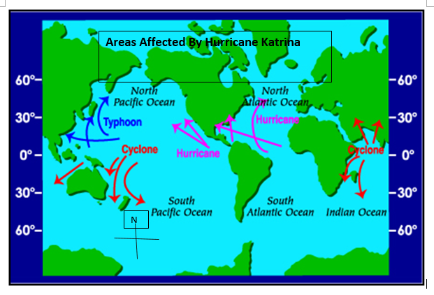
This
map shows the areas that Hurricane Katrina (Purple Arrows) affected from a
world view. This map shows the areas surrounding the affected areas, and also
how and where the hurricane travelled. This map also shows BOLTSS because it
has a noticeable border around the outside of the map. It shows orientation
because it has the compass points at the bottom left hand corner. The legend is
the purple arrows that say hurricane. It has a title at the top which says what
the map is about. It has a scale on the two sides of the map and the source is
in the bibliography
|
